In the European INNO4CFIS project, together with our partners, we have combined multispectral drones, mobile devices, field measurements and digital models to improve biomass estimation and, consequently, the monitoring of carbon stored in agroforestry systems. The results bring us closer to more objective, traceable methodologies that can be transferred to the sector
Agroforestry systems can help store carbon in vegetation and soil, while also supporting biodiversity, protecting against erosion and improving the resilience of farms. However, to demonstrate this contribution, we need to measure how trees and biomass evolve over time.
This task is particularly complex in Mediterranean environments, where different species, sizes, densities and environmental conditions coexist. Manual measurements provide accurate information, but they are time-consuming and difficult to repeat over large areas.
In INNO4CFIS, we have worked on methodologies that make it possible to complement these measurements using aerial and terrestrial remote sensing technologies.
Drones to characterise trees and plots
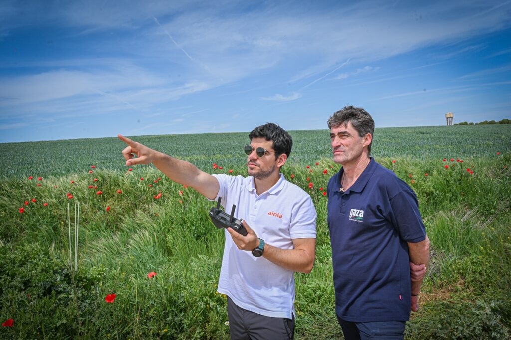
Using drones equipped with RGB and multispectral cameras and high-precision positioning systems, we have generated orthomosaics, vegetation index maps, three-dimensional point clouds and digital terrain and surface models.
From these data, we have obtained information on vegetation cover, tree height, crown dimensions and the variability within the plots. When the plantation structure allows it, we can analyse individual trees and compare their evolution between campaigns.
We have also found that image resolution alone does not guarantee a reliable result. Flight planning, sensor calibration, lighting and wind conditions, and georeferencing accuracy are essential factors for distinguishing real changes from possible variations generated during data acquisition and processing.
Ground-based measurement of tree structure
Aerial observation makes it possible to characterise mainly the tree crowns, but provides less information on hidden elements, such as trunks or lower branches.
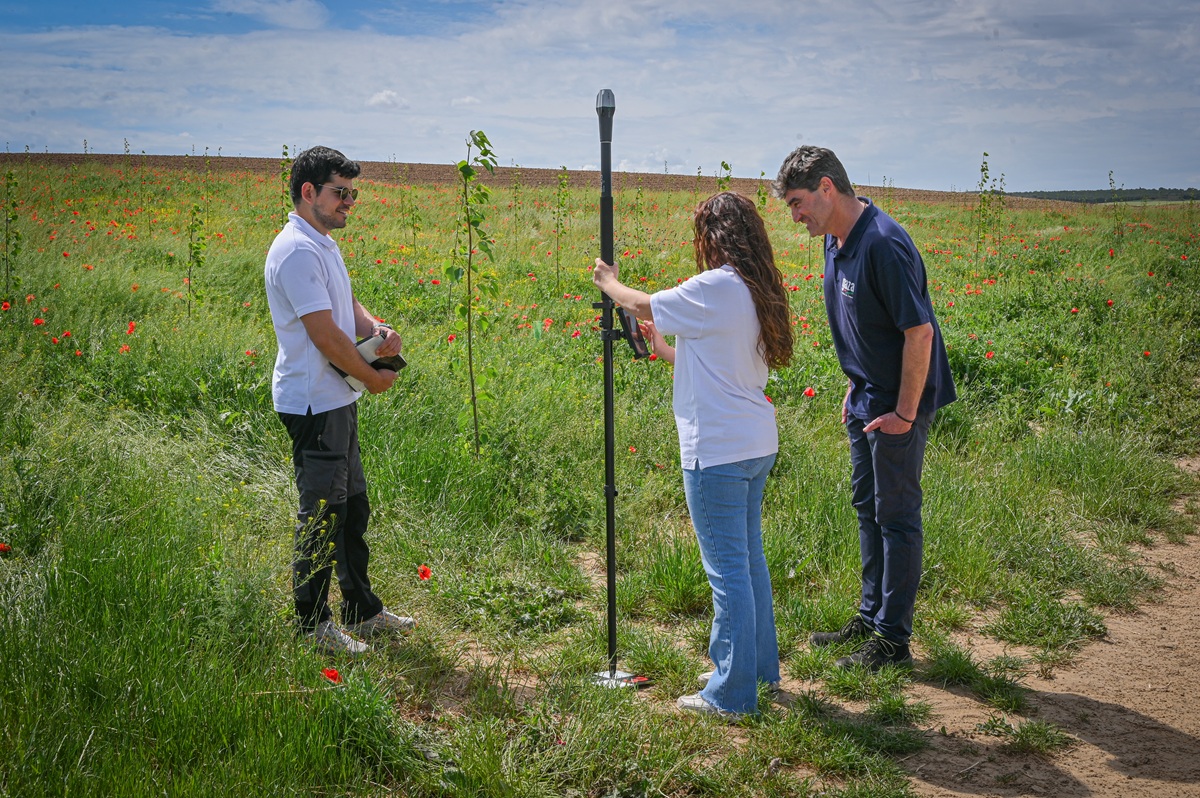
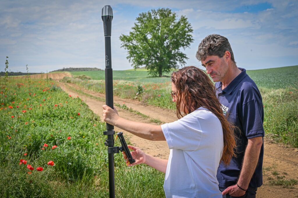
To complement these data, we have used mobile devices that integrate LiDAR and RGB sensors and rely on RTK positioning systems. These technologies have enabled us to generate three-dimensional reconstructions and estimate variables, such as trunk diameter, which are fundamental for the development of biomass calculation models.
The results obtained show the potential of these devices to speed up certain measurements and compare the evolution of trees between campaigns. However, they also highlight the need to validate each methodology before applying it to other species, plots or different conditions.
From observations to biomass estimation
Sensors do not directly measure biomass or stored carbon. They record signals from which data and images are generated that we must process to obtain variables related to vegetation biomass.
To do this, we have connected the data obtained using drones and ground-based devices with measurements taken in the field. These reference data allow us to calibrate and validate the models used to relate variables such as height, trunk diameter or crown dimensions to tree biomass.
Our aim is not to replace fieldwork, but to use it more efficiently. Direct measurements provide the necessary reference, while remote sensing makes it possible to broaden the observation, repeat it more frequently and extend it across the entire plot.
INNO4CFIS drives data-driven carbon farming
In the following video, we show how we have applied these technologies to gain a more accurate understanding of biomass formation as a basis for estimating carbon sequestration in agroforestry systems.
The combination of ground-based measurements, drones, satellite data and digital models allows us to complement field observations with objective and comparable data at different scales.
In addition, we have made progress in connecting these sources to a digital data management architecture. In this way, each observation can be linked to a plot, a tree, a date and a specific procedure, preserving data traceability from the initial measurement through to the final result.
These capabilities can contribute to the development of future digital systems for carbon monitoring, reporting and verification. However, remote sensing represents only one part of the process and must be integrated with certification methodologies and frameworks that assess aspects such as additionality or the permanence of stored carbon.
Technologies transferable to the sector
The results of INNO4CFIS demonstrate that combining field measurements, remote sensing technologies and digital models can improve biomass monitoring in agroforestry systems.
We have developed methodologies that make it possible to characterise trees and plots, compare campaigns and generate reliable data on their evolution. The next challenge will be to extend their validation and achieve a balance between accuracy, cost, ease of use and applicability under different conditions.
Carbon farming begins in the field, but it can only progress if we transform each observation into reliable, comparable and traceable evidence. At AINIA, we continue working to bring these technologies closer to the sector and facilitate data-driven agroforestry management.
INNO4CFIS —Nature-Based Business Model and Emerging Innovations to Enhance Carbon Farming Initiatives while Preserving Biodiversity, Water Security and Soil Health— is co-funded by the European Union through the Interregional Innovation Investments I3 instrument of the European Regional Development Fund, under grant agreement No. 101115156.